
 NOAA PHOTO
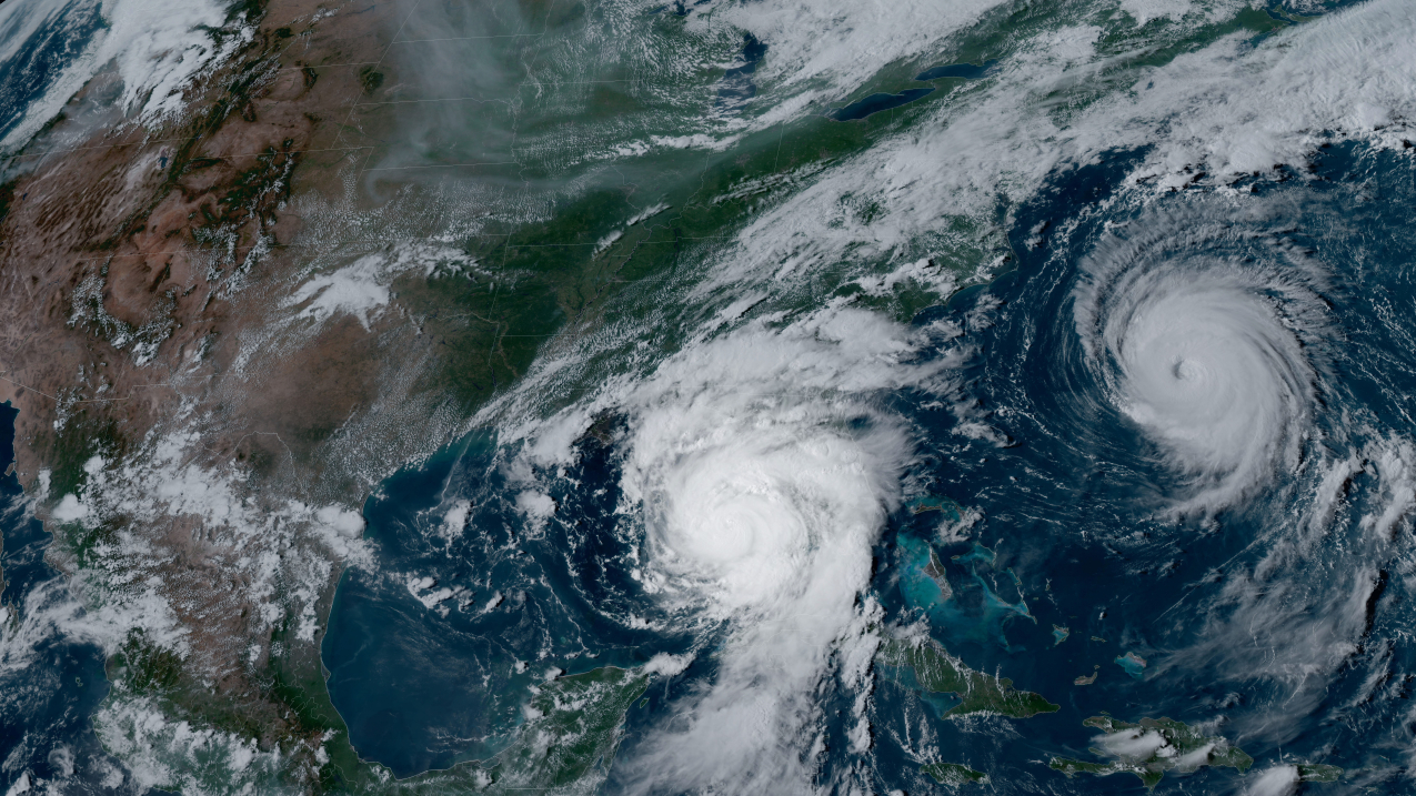
The National Oceanic and Atmospheric Administration and National Weather Service are predicting above-normal hurricane activity in the Atlantic basin this year.
The outlook for the Atlantic hurricane season, which runs from June 1 to Nov. 30, calls for an 85% chance of an above-normal season, a 10% chance of a near-normal season and a 5% chance of a below-normal season.
NOAA is forecasting 17 to 25 named storms, with winds of 39 mph or higher. Of those, eight to 13 are forecast to become hurricanes, with winds of 74 mph or higher, including four to seven major hurricanes rated at Category 3 or higher. Forecasters have a 70% confidence in these ranges.
“With another active hurricane season approaching, NOAA’s commitment to keeping every American informed with life-saving information is unwavering,” NOAA administrator Rick Spinrad said in a statement. “AI-enabled language translations and a new depiction of inland wind threats in the forecast cone are just two examples of the proactive steps our agency is taking to meet our mission of saving lives and protecting property.”
The above-normal activity is attributed to several factors, including near-record-warm Atlantic temperatures, the development of La Niña, weaker Atlantic trade winds and less wind shear.
One of the strongest El Niño episodes ever observed is nearing its end, and NOAA scientists predict a quick transition to La Niña condition. La Niña tends to weaken wind shear in the tropics, which fuels hurricane activity. Additionally, high water temperatures in the Atlantic and Caribbean creates more energy to fuel storm development.
There also is potential for above-normal west African monsoon activity, which can produce easterly waves that seed some of the strongest and longer-lived Atlantic storms. Also, light trade winds allow hurricanes to strengthen without the disruption of strong wind shear.


