Hurricane Idalia made landfall at Keaton Beach, Fla., on Aug. 26, 2023, as a Category 3 storm with sustained winds of about 115 mph. About 20 miles away at Sea Hag Marina in Steinhatchee, Fla., owners Danielle and Charlie Norwood had done their best to get ready.
“We felt like we were somewhat prepared,” Danielle says. “It was overwhelming with the amount of water. It’s something we’ve never experienced before. We thought it was coming in on a low tide.”
She estimates that the storm surge exceeded 10 feet. “We had 7 feet in the store, and our concrete pilings snapped off because of the weight of the floating docks going all the way up,” she says.
Sea Hag Marina’s docks were destroyed but were uninsured, so that was a $1.5 million loss. All the electrical panels for the main building were underwater, so the Norwoods replaced them and moved them up to the second floor. Perhaps the most challenging part of the cleanup was the 6 inches of mud left after the surge receded. “It took six days just to get the mud off the concrete and out of everything,” Danielle says.
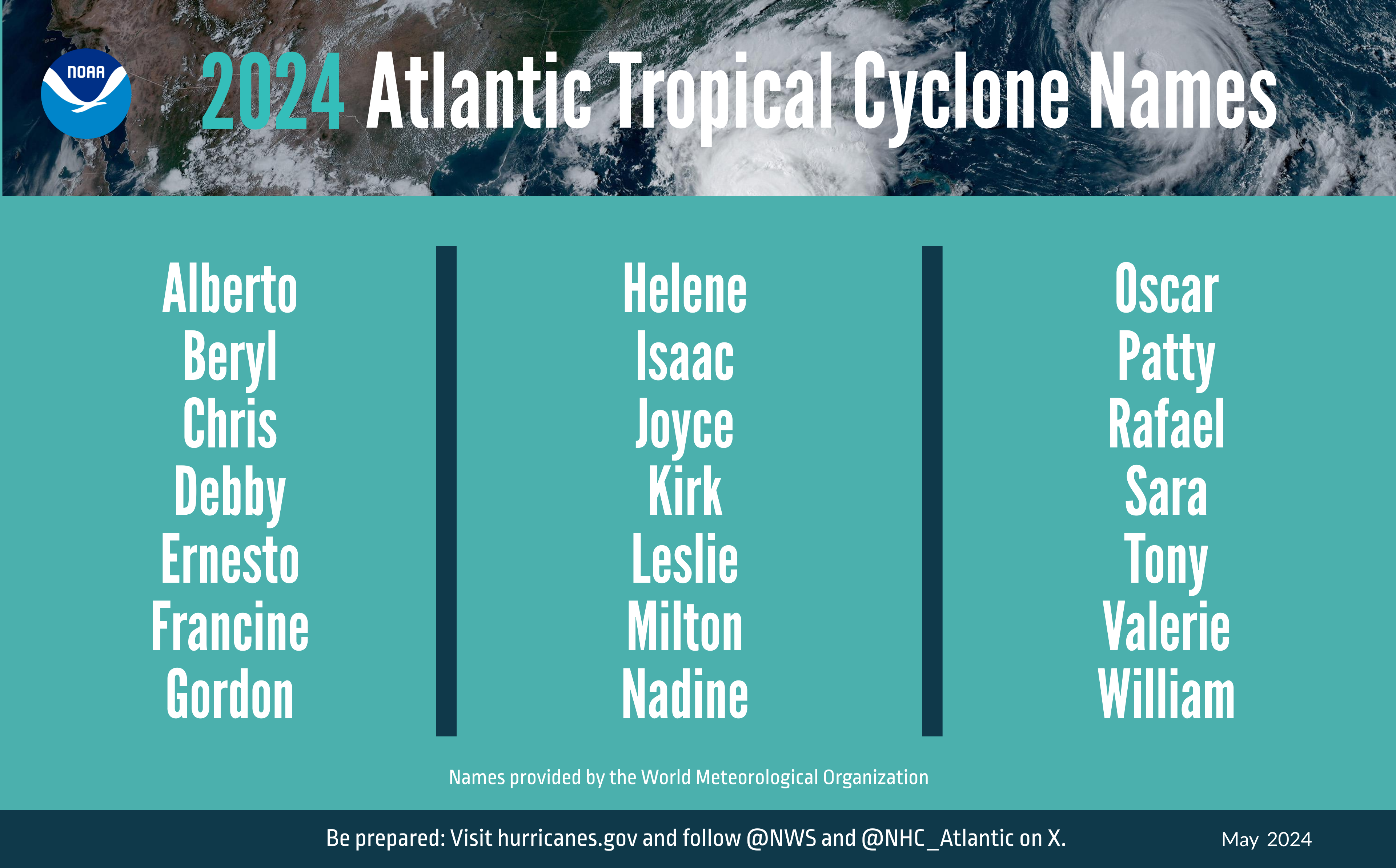
The 2023 Atlantic hurricane season was the fourth most active on record, with 20 named storms. Of those, seven became hurricanes, with three reaching major hurricane status (Category 3 or stronger on the Saffir-Simpson Hurricane Wind Scale). For the 2024 hurricane season, which starts June 1 and runs through November, the National Oceanic and Atmospheric Administration’s National Hurricane Center and the National Weather Service have predicted 17 to 25 named storms. That’s the largest number forecasted on record. There’s an 85% chance of an active season, a 15% probability of an average season and 5% chance of a below-average one.
Checking the Boxes
Meteorological experts say there’s something of a perfect storm brewing in the area of the Atlantic known as the Main Development Region. It ranges from the coast of Central America across the Caribbean south of Cuba and out into the Atlantic. Warmer ocean Atlantic temperatures and a La Niña weather pattern are the two primary driving forces. The Western African Monsoon, a seasonal rainfall pattern that develops in June and runs through August, pushes out into the Atlantic, and these storms are often the start of disturbances that develop into strong, long-lasting hurricanes.
“When that area is wetter than normal, you have a relationship to more and stronger tropical storms in the Atlantic,” says Matthew Rosencrans, lead forecaster for the seasonal hurricane outlook for NOAA.
The warmer ocean temperatures come into play because they fuel storms. Temperatures in May were what experts typically expect in August. La Niña is the other key ingredient for the active predictions for the 2024 season. The phenomenon is a cooling in the central Pacific and a warming in the western Pacific. This changes the wind patterns above 35,000 feet and “on the entire planet,” Rosencrans says. When the upper winds are weaker, they cannot come down from the north and weaken a building hurricane.
The Climate Prediction Center is forecasting a 77% chance of La Niña developing in August through October.
Event Management
Rosencrans confers with colleagues around the country when forecasting hurricane season. Colorado State University’s Department of Atmospheric Science is one of the nation’s most respected. While the school and the National Hurricane Center don’t always agree on forecasts, for 2024 they’re on the same page. In its forecast, CSU predicted 23 named storms and estimated that 11 will become hurricanes, with five reaching major hurricane strength of Category 3, 4 or 5 with sustained winds of 111 mph or greater.
“Regardless of whether we make it to La Niña, it’s going to be an active season,” says Phil Klotzbach, senior research scientist at Colorado State. “Last year, we talked about the clash of the titans with the warm oceans and El Niño. This year, the odds are quite likely that we’ll be transitioning to La Niña mid-August to September. The titans aren’t clashing; they’re pulling in the same direction.”
CSU predicts the probability of a major hurricane making landfall at 62% for the entire U.S. coast. From 1880 to 2020, the average was 43%. For the East Coast, including Florida, the landfall prediction is 34% compared with an average of 21%. The expectation for landfall along the Gulf Coast of Florida to Brownsville, Texas, is 42%. For the Caribbean, the projection is 66%.
In recent years, there has been more activity coming out of the Caribbean and in the Gulf of Mexico, which explains why more storms have made landfall on the west coast of Florida. “If you go towards La Niña, and based on the temperatures in the Caribbean, you’ll get more storms there,” Klotzbach says.
One term being used much more in this year’s preseason is accumulated cyclone energy, or ACE. It focuses on storm frequency, intensity and duration in the western half of the Atlantic Basin. “ACE generated west of 60 degrees west correlates better with landfalling storms in the Atlantic Basin than basinwide ACE, since virtually all hurricane-prone landmasses in the Atlantic Ocean are located west of 60 degrees west,” CSU said in its forecast. The ACE forecast for 2024 is the second highest in history and is higher than 2023. The university plans to update its forecast June 11, July 9 and Aug. 6.
Preparing Now
There have been 20 hurricanes that made landfall from 2017 to 2023, with nine measured at Category 3 or higher. There were 450 direct fatalities from the storms, including surge, wind, rainfall and flooding. There were also 420 indirect fatalities. Of the fatalities, 55% were from freshwater flooding, 16.3% were from surf and rip currents, and 11% were from storm surge. Total financial damages were $663 billion, which made up 60% of total disaster costs.
In early May, NOAA went on a 2024 Hurricane Awareness Tour, including a stop in Portland, Maine, where Soundings Trade Only spoke with Michael Brennan, director of the National Hurricane Center, about new data that the organization will be providing this year. Because of the threats that hurricanes present to Central America and Mexico, new Spanish-language communications will be available. There will be Spanish Atlantic Tropical Cyclone Discussions and Key Messages, plus a full suite of products in the Eastern Pacific, as well.
Beginning in August, for all forecasts, there will be inland warnings and watches for surge and rainfall overlaid on the traditional cone-of-uncertainty graphic. There will also be links in public advisories to additional hazard information, with a focus on rainfall and storm surge.
“This is a way we can show everybody the impacts outside of the cone,” Brennan says. “We’ll also be able to issue tropical storm surge and warnings every three hours instead of every six. Previously, the NHC issued notices for storm surge or winds every six hours for the next scheduled advisory.
NOAA’s research office has also put into motion the sixth version of the Modular Ocean Model that will improve representation of the role that the ocean plays in hurricane development. Flood inundation mapping will provide information to emergency and water managers so they can prepare and respond to potential flooding, and should help officials better prepare. NOAA’s Weather Prediction Center will issue an experimental rainfall graphic for the Caribbean and Central America, as well as maps for the coastal United States.
Brennan also says that accuracy has improved, with forecasts cutting track error by 64% since 2000, and intensity prediction errors being cut in half.
One area of interest with climate change and warmer ocean temperatures is rapid intensification. Statistics show that every Category 5 storm that made landfall in the past 50 years was a tropical storm three days prior, and several didn’t even exist three days prior. “On those Category 5s, the preparedness was 50 hours,” Brennan says.
To try to acquire more information sooner, NOAA’s observing systems will provide more real-time data about the ocean and atmosphere in the Caribbean, Gulf of Mexico and U.S. East Coast. The National Data Buoy Center upgraded many of its coastal weather buoys in the tropical western Atlantic and Caribbean to include time of occurrence and measurements of one-minute wind speed and direction, five-second peak wind gust and direction, and one-minute barometric pressure to support storm forecasting.
The administration is using directional wave spectra drifters deployed from NOAA’s P-3 hurricane hunter aircraft, and uncrewed surface vehicles will be deployed at the start of the hurricane season, providing one-minute data in real time. Beginning in June, dozens of underwater gliders will be deployed in the Caribbean, Gulf of Mexico and the Eastern Seaboard.
Rosencrans is among many meteorologists who say that climate change is affecting the nature of hurricanes. “It’s becoming a wind and water event more, and the sea level rise that we’ve noticed in the past 80, 90 or 100 years is just setting us up for more coastal impacts,” he says. Researchers can look back 1,000 to 1,500 years and see distinct periods with published statistics of 25 to 40 years where temperatures were above normal, he adds. “When you put it against climate change, we’re 30 years into a current warm cycle. We’ve got 10 more years and that goes back 1,000 years.”
For boaters and members of the marine industry, the best source of information specifically related to ocean activity is the Ocean Prediction Center. That doesn’t mean that winds are no longer a threat. Ingman Marine has four locations in southwest Florida, and its operations in Port Charlotte and Placida were heavily damaged by winds when Hurricane Ian hit the region as a
Category 5 storm in September 2022. Roofs were torn off buildings, and today, Ingman Marine in Port Charlotte still has three buildings scheduled for demolition.
“It’s a concern every year, and you do as much as you can to prep for it and have everything secure,” says Gene Kirk, general manager at the Ingman location in Sarasota, Fla., and service manager for the company. He estimates that the company’s overall losses from Ian were about $1.5 million. Ingman is still dealing with insurance claims for customers’ boats.
Kirk adds that ever since Ian, he has watched the warnings more closely. “Every time you live through it, you learn a little bit more,” he says.
 COURTESY NOAA
Expanding Knowledge
Hal Needham is the founder of marine weatherandclimate.com, a website that provides analysis and forecasts on storm-related data. During the past handful of years, he has been trying to raise awareness of the threat to folks who live outside the area that is shown in the cone of uncertainty.
“I’m saying, ‘Here’s the forecast, the probability of flooding and the probability of wind damage,’” Needham says. “I think back to 2018, there was a category 5 that hit the [Florida] Panhandle and tore up southwest Georgia with inland winds.”
Even when hurricanes hit the same area, they do so in different ways. In 2004, Hurricane Charlie hit the same basic area that Ian struck in 2022. “Hurricane Charlie was three or four hours, but Ian was 10 to 12,” Needham says.
He adds that people need to educate themselves about the history of storms. For example, the season may start June 1, but more than 90% of the activity has taken place from early August through early October. From 1973 to 2022, there were six major hurricanes that hit southeast Florida. In the 50 years before that, there were twice as many.
One of the things people need to understand is how what would appear to be a minor change in ocean water temperature is actually a major concern. “Just to set things straight, 2023 was already record-breaking warm, and 2024 is blowing past those records,” says Brian McNoldy, a senior research associate at the University of Miami. “We’ve never had a La Niña with an Atlantic as warm as it will be soon.”
Looking at the main development region from the African coast to Central America, the average sea surface temperature in the Atlantic was 82.4 degrees. “The ocean is thinking it’s mid-August now, and that’s fairly ominous to me,” McNoldy says. “It can increase the peak intensity, and you increase the likelihood of rapid intensification. A storm can go from a Category 1 to a Category 4 in a day.”
He believes that there’s more going on to feed the increased ocean temperatures. A subtropical high-pressure system called an Azores High or a Bermuda High helps steer storms farther west. “When it’s really strong, it increases the trade winds in the tropical Atlantic that help cool the ocean and can assist in the creation of giant plumes of Sahara dust that absorb the sun’s energy,” McNoldy says. The Azores High was weaker last year, and he says that helped the Atlantic start heating up. “That high-pressure system is still weaker than normal, but not to the extent that it was last spring.”
He also says a change in commercial shipping regulations that went into effect in 2020 could be having an impact on increasing temperatures. The International Maritime Organization reduced the global upper limit on the sulphur content of ships’ fuel oil to 0.5% from 3.5%. An analysis by the climate publication Carbon Brief concluded that falling sulfur emissions from IMO 2020 could result in a .05 degree Celsius increase by 2050. The reduced emissions mean fewer clouds, so the sun’s heat is being soaked up by the oceans.
Because the subtropical high is stronger than it was last year, McNoldy says he’s not expecting as many storms to curve north and away from the United States. “I would expect them to make it west farther and become a threat to the Caribbean, Central America and the Gulf Coast of the U.S.,” he says.
The biggest concern for forecasters is the false sense of security that the public can develop. “Complacency is something we have to fight against every year,” Rosencrans says. “Even in places that were hit a few years ago, people have short memories. Communities have a lot of turnover in terms of population, so there may not be that community memory of what it was like or what the risk is living in that area.”
Even with the additional forecasts and information, Kirk says, it’s realistic to expect people to be surprised. “It depends on where and how hard it hits,” he says. “You just hope and pray that it passes you by.”
This article was originally published in the July 2024 issue.


